National Geographic Trails Illustrated Wonderland Trail Map
• Waterproof • Tear-Resistant • Topographic Map
The Wonderland Trail encircles Mount Rainier and was completed in 1915 by volunteers and designated a National Recreation Trail in 1981. The Wonderland Trail is known for its undulating terrain with a striking cumulative 22,000 feet of elevation gains and losses.
The Topographic Map Guide is arranged for clockwise travel around the Wonderland Trail starting at the Sunrise trailhead. Each map page has a detailed trail profile that shows the elevation changes you will encounter. Also, the Wonderland Trail is highlighted and centered on each page so you can easily track your progress. The Topographic Map Guide also includes information about Mt Rainier National Park as well as wilderness regulations and other important facts and tips to help make your journey on this amazing trail both successful and memorable.
More convenient and easier to use than folded maps, but just as compact and lightweight, National Geographic’s Topographic Map Guide booklets are printed on "Backcountry Tough" waterproof, tear-resistant paper with stainless steel staples. A full UTM grid is printed on the map to aid with GPS navigation.
Original: $14.95
-65%$14.95
$5.23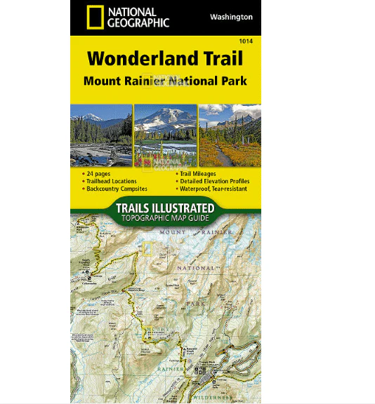

Description
• Waterproof • Tear-Resistant • Topographic Map
The Wonderland Trail encircles Mount Rainier and was completed in 1915 by volunteers and designated a National Recreation Trail in 1981. The Wonderland Trail is known for its undulating terrain with a striking cumulative 22,000 feet of elevation gains and losses.
The Topographic Map Guide is arranged for clockwise travel around the Wonderland Trail starting at the Sunrise trailhead. Each map page has a detailed trail profile that shows the elevation changes you will encounter. Also, the Wonderland Trail is highlighted and centered on each page so you can easily track your progress. The Topographic Map Guide also includes information about Mt Rainier National Park as well as wilderness regulations and other important facts and tips to help make your journey on this amazing trail both successful and memorable.
More convenient and easier to use than folded maps, but just as compact and lightweight, National Geographic’s Topographic Map Guide booklets are printed on "Backcountry Tough" waterproof, tear-resistant paper with stainless steel staples. A full UTM grid is printed on the map to aid with GPS navigation.